6 magnificent hikes to take on your next visit to North Georgia

A North Georgia hike will let you escape the hustle and bustle of the big city as you wind your way through some beautifully rugged areas, complete with forests, waterfalls and gorgeous views.
If you’re getting away to North Georgia, these six magnificent hikes are well worth the trip:
Raven Cliff Falls Trail
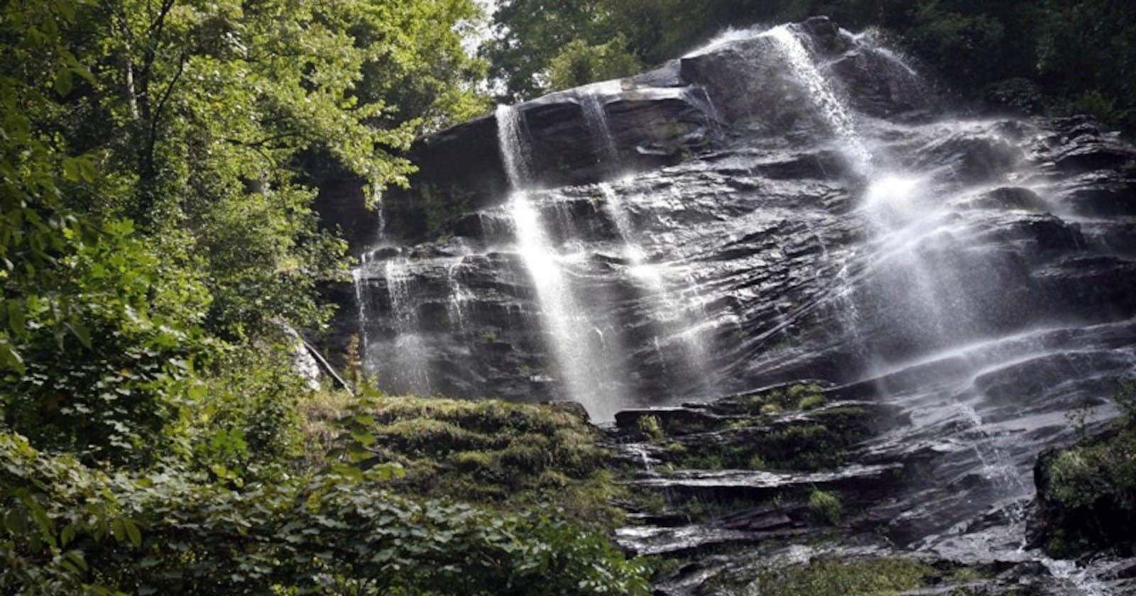
The Raven Cliff Falls Trail is one of North Georgia’s most well-loved hikes, and it’s easy to see why. The trail, which starts near Helen, takes you on a round trip that’s just under five miles long and filled with beauty. Tall hardwoods provide a shaded canopy for the hike, which goes past plenty of wildflowers and bright green moss in a lush forest. On your way to the hike’s namesake feature — a waterfall showering down through a large cliff — you’ll also see several smaller falls.
If you’d like to take a break from hiking, you’ll find campsites as well as a five-foot-deep swimming hole to take a dip in.
Location: 3000 Richard B Russell Scenic Hwy, Helen, GA 30545; Website: atlantatrails.com
Amicalola Falls Trail
At over 730 feet, Amicalola Falls is Georgia’s highest waterfall. The hike isn’t very long — just over two miles — but it can be strenuous since you’ll be climbing stairs for part of your journey. You’ll climb your way through a hardwood forest before reaching the falls’ crest and taking in the stunning views. Along the way, you’ll also cross a bridge where you’ll want to pause and enjoy the falls’ spray.
This hike is gorgeous in any season, so even if you’ve been before, it’s worth returning another time of year.
Location: 418 Amicalola Falls State Park Rd, Dawsonville, GA 30534; Website: atlantatrails.com
Blood Mountain Loop
The top of Blood Mountain is the Appalachian Trail’s highest summit in Georgia, and the hike to the top will provide a strenuous workout. The trail begins close to Neels Gap at Byron Reece Trailhead where you’ll work your way through a creek valley, cross a creek bed and climb stone stairs. Your path joins the iconic Appalachian Trail where you’ll pass through many rocky clearings and climb over boulders before reaching the summit.
A rock outcropping beside the circa-1930s, Civilian Conservation Corps-constructed rock building at the summit affords an amazing view.
Location: 12471 Gainesville Hwy, Blairsville, GA 30512; Website: atlantatrails.com
DeSoto Falls Trail
The DeSoto Falls Trail provides many great views in a relatively short distance — about two miles round-trip — and without being too strenuous. For that reason, it’s a good opportunity to bring the kids along. Rated easy to moderate in difficulty, the trail starts at a paid parking lot near the trailhead and crosses Frogtown Creek via a wooden bridge. You’ll hike through a shady forest and reach a wooden platform with a good view of Lower DeSoto Falls. The trail continues through the forest before reaching the larger Upper DeSoto Falls with its multiple tiers of falling whitewater.
Location: 18365 US-19, Dahlonega, GA 30533; Website: atlantatrails.com
Grassy Mountain Tower Trail
You’ll have to drive on remote, mountain roads to reach the Grassy Mountain Tower Trail since it’s located in the Cohutta Wilderness. Its nearly 36,000-acre spread makes it the largest such tract east of the Mississippi. The moderate hike is just over five miles round trip and provides one of the best views in the state. The hike climbs from the shores of Lake Conasauga, which is at the highest elevation of any Georgia lake. You’ll hike from the lake’s shores through forest, a rocky creek and colorful wildflowers.
At the summit, you’ll find the Grassy Mountain fire tower, which you can carefully climb to its first platform to take in a nearly 360-degree view.
Location: Georgia 30705; Website: atlantatrails.com
Yonah Mountain Trail
This hike, with its moderate level of challenge, takes you 2.2 miles from the base to the summit of Yonah Mountain, which is located between Cleveland and Helen. The mountain is known for its uneven shape and memorable outcroppings, and the hike measures 4.4 miles round-trip.
You’ll work your way through a forest that affords lots of wildflower sightings before crossing a bridge and climbing stone stairs. Before reaching the summit, you’ll be able to see Cowrock Mountain, located on the Appalachian Trail. Watch for abrupt drop-offs while enjoying the gorgeous views from Yonah Mountain.
Location: GA-75, Cleveland, GA 30528; Website: atlantatrails.com
This story was originally published by Mary Caldwell in 2018 and has since been updated.
